Page 5 of 30
Day 3, Thursday, October 10
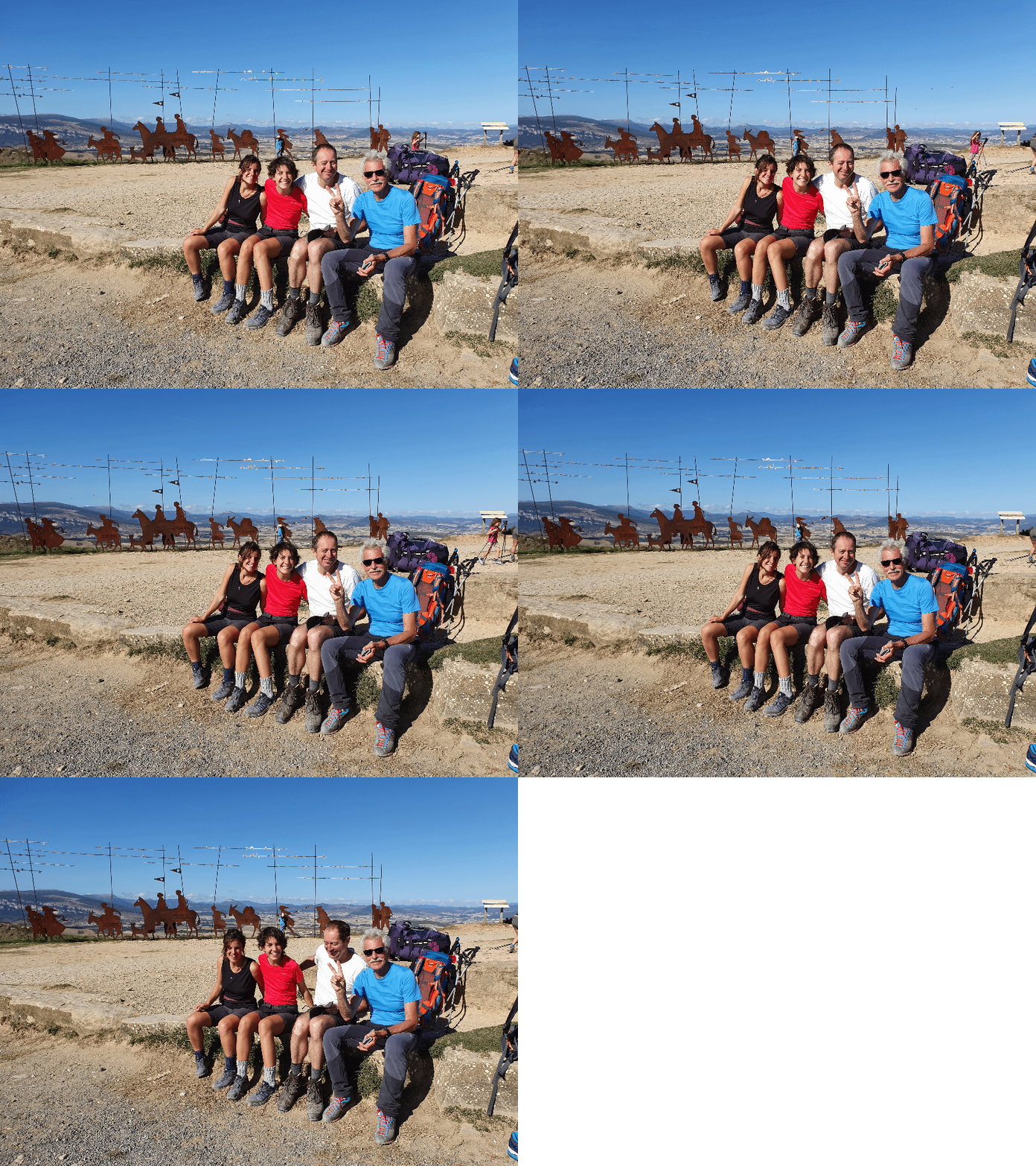
Eleonora, Carola, Claus and Fabrizio. This is the day when we formed a team. Elisabeth had continued.
- Photographer: Claus Nedergaard Jacobsen
- Date Taken: 2019:10:10 15:51:31
- GPS Location: 42.7758891N, -1.7129823E

Just outside the wonderful Albergue Parroquial at Zabaldica (hermanas del Sagrado Corazón)
- Photographer: Claus Nedergaard Jacobsen
- Date Taken: 2019:10:10 08:06:30
- GPS Location: 42.8559436N, -1.5819013E

Outside the wonderful Albergue Parroquial at Zabaldica (hermanas del Sagrado Corazón), where I first met Elisabeth, Fabricio, Eleonora and Carola. It was run by a Nun Order called "Sacre Coeur"
- Photographer: Claus Nedergaard Jacobsen
- Date Taken: 2019:10:10 08:06:48
- GPS Location: 42.8559436N, -1.5819013E

The wonderful Albergue Parroquial at Zabaldica (hermanas del Sagrado Corazón) where we were welcomed by nuns when arriving late, cold and hungry (after 36 km)
- Photographer: Claus Nedergaard Jacobsen
- Date Taken: 2019:10:10 08:07:15
- GPS Location: 42.8558638N, -1.5818817E

Day 3 - into Pamplona
- Photographer: Claus Nedergaard Jacobsen
- Date Taken: 2019:10:10 08:32:30
- GPS Location: 42.8408201N, -1.5868001E

Entering Pamplona via Batán Villava/Atarrabia
- Photographer: Claus Nedergaard Jacobsen
- Date Taken: 2019:10:10 08:50:54
- GPS Location: 42.8363834N, -1.6032968E

Parroquia de San Andrés in Pamplona
- Photographer: Claus Nedergaard Jacobsen
- Date Taken: 2019:10:10 08:56:44
- GPS Location: 42.8333246N, -1.6065411E

Chilly in the morning
- Photographer: Claus Nedergaard Jacobsen
- Date Taken: 2019:10:10 09:00:33
- GPS Location: 42.831307N, -1.6082696E

Puente de Magdalena in Pamplona. Early in the morning as you can tell from the shadows.
- Photographer: Claus Nedergaard Jacobsen
- Date Taken: 2019:10:10 09:38:35
- GPS Location: 42.8210641N, -1.6375594E
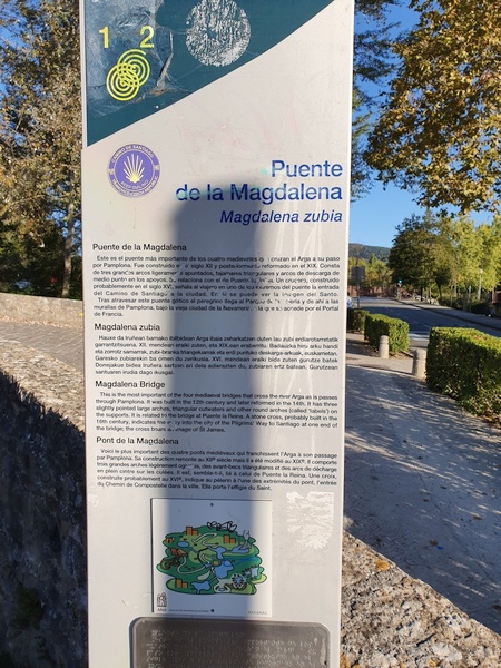
Puente de Magdalena in Pamplona. One of four bridges crossing river Arga but the most important one. Related to the one at Puenta de la Reina.
- Photographer: Claus Nedergaard Jacobsen
- Date Taken: 2019:10:10 09:38:48
- GPS Location: 42.8210641N, -1.6375594E

River Arga seen from Puenta de la Magdalena
- Photographer: Claus Nedergaard Jacobsen
- Date Taken: 2019:10:10 09:41:08
- GPS Location: 42.8210391N, -1.6379089E

River Arga seen from Puenta de la Magdalena
- Photographer: Claus Nedergaard Jacobsen
- Date Taken: 2019:10:10 09:41:24
- GPS Location: 42.8210391N, -1.6379089E

Just outside Pamplona. Lots of wind mills at the ridge in front.
- Photographer: Claus Nedergaard Jacobsen
- Date Taken: 2019:10:10 12:27:25
- GPS Location: 42.7793244N, -1.6868472E

Look back at Pamplona. I walked through fast and did not have time to watch much.
- Photographer: Claus Nedergaard Jacobsen
- Date Taken: 2019:10:10 13:10:33
- GPS Location: 42.7590256N, -1.7139314E

Look back at Pamplona. I walked through fast and did not have time to watch much.
- Photographer: Claus Nedergaard Jacobsen
- Date Taken: 2019:10:10 13:10:56
- GPS Location: 42.7599019N, -1.7008263E
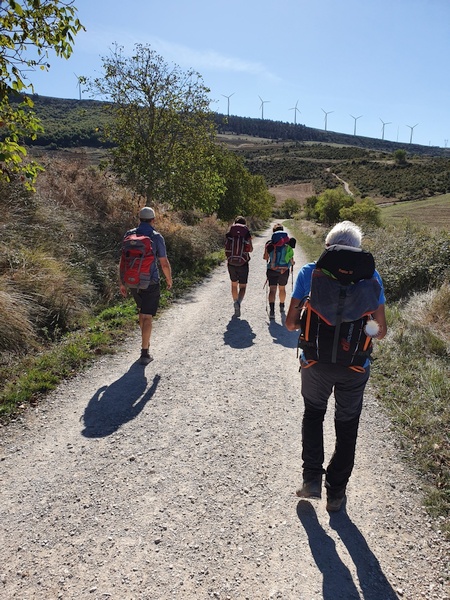
Carola, Eleonora and Fabrizio and another hiker in front.
- Photographer: Claus Nedergaard Jacobsen
- Date Taken: 2019:10:10 15:05:12
- GPS Location: 42.7447622N, -1.7248983E

Approaching Alto Del Perdon. Mountains to the north. Plenty of farming.
- Photographer: Claus Nedergaard Jacobsen
- Date Taken: 2019:10:10 15:20:58
- GPS Location: 42.7391047N, -1.7334347E

Another spot with remembrance stones.
- Photographer: Claus Nedergaard Jacobsen
- Date Taken: 2019:10:10 15:27:17
- GPS Location: 42.7374644N, -1.7379383E

Close to Alto Del Perdón (I think - unprecise time)
- Photographer: Fabrizio Ciappone
- Date Taken: 2019:10:10 15:30:58
- GPS Location: 42.7358928N, -1.7424178E

Lots of wind mills when mounting Alto Del Perdón
- Photographer: Claus Nedergaard Jacobsen
- Date Taken: 2019:10:10 15:34:45
- GPS Location: 42.7358928N, -1.7424178E

Mirador Alto Del Perdón. Mountain of forgiveness.
- Photographer: Claus Nedergaard Jacobsen
- Date Taken: 2019:10:10 15:34:54
- GPS Location: 42.7358928N, -1.7424178E

El Camino del Viento. This place is also where winds cross.
- Photographer: Claus Nedergaard Jacobsen
- Date Taken: 2019:10:10 15:40:11
- GPS Location: 42.7358823N, -1.7426054E

Elizabeth and Fabrizio at Alto Del Perdón.
- Photographer: Claus Nedergaard Jacobsen
- Date Taken: 2019:10:10 15:40:19
- GPS Location: 42.7358823N, -1.7426054E

Mirador Alto Del Perdón
- Photographer: Claus Nedergaard Jacobsen
- Date Taken: 2019:10:10 15:43:15
- GPS Location: 42.7358377N, -1.7424068E
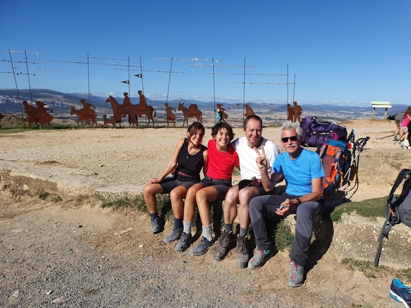
Eleonora, Carola, Claus and Fabrizio. This is the day when we formed a team. Elisabeth had continued.
- Photographer: Claus Nedergaard Jacobsen
- Date Taken: 2019:10:10 15:51:31
- GPS Location: 42.7758891N, -1.7129823E

Eleonora, Carola, Claus and Fabrizio. This is the day when we formed a team. Elisabeth had continued.
- Photographer: Claus Nedergaard Jacobsen
- Date Taken: 2019:10:10 15:51:44
- GPS Location: 42.7758891N, -1.7129823E

A German man hiked with his two daughters. There was always a trail of women around who wanted to help
- Photographer: Claus Nedergaard Jacobsen
- Date Taken: 2019:10:10 16:05:56
- GPS Location: 42.7356597N, -1.7425228E

A statue for Saint Mary. Where we caught up with Elisabeth
- Photographer: Claus Nedergaard Jacobsen
- Date Taken: 2019:10:10 16:49:22
- GPS Location: 42.7135977N, -1.7570907E
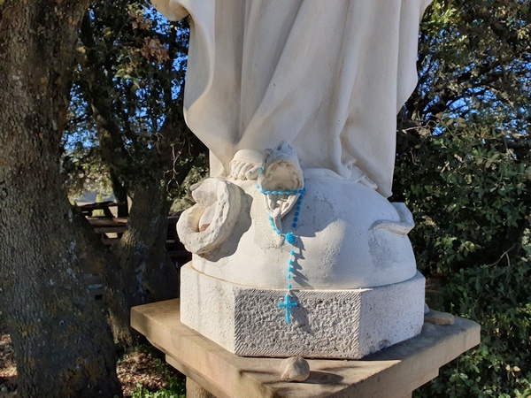
Saint Mary steps on the snake
- Photographer: Claus Nedergaard Jacobsen
- Date Taken: 2019:10:10 16:54:17
- GPS Location: 42.7135597N, -1.7570947E

Fabrizio, Carola and Eleonora
- Photographer: Claus Nedergaard Jacobsen
- Date Taken: 2019:10:10 17:10:36
- GPS Location: 42.7057768N, -1.7603058E
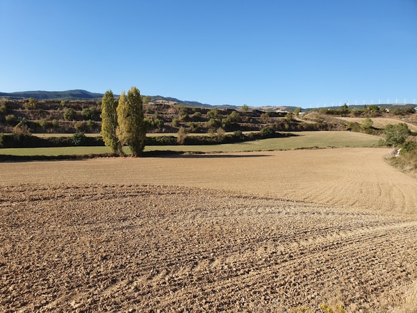
Farmland. Lots of it.
- Photographer: Claus Nedergaard Jacobsen
- Date Taken: 2019:10:10 17:15:32
- GPS Location: 42.7031018N, -1.7607768E

Looking back at Alto Del Perdón. Beautiful day.
- Photographer: Claus Nedergaard Jacobsen
- Date Taken: 2019:10:10 17:15:45
- GPS Location: 42.6975631N, -1.7853805E

Now we walked the first 100 km.
- Photographer: Claus Nedergaard Jacobsen
- Date Taken: 2019:10:10 17:33:20
- GPS Location: 42.6929533N, -1.7686192E

Lots of snails.
- Photographer: Claus Nedergaard Jacobsen
- Date Taken: 2019:10:10 17:49:07
- GPS Location: 42.6854926N, -1.7756417E

Iglesia de San Juan Bautista - In Obanos shortly before Puenta de la Reina.
- Photographer: Claus Nedergaard Jacobsen
- Date Taken: 2019:10:10 18:06:27
- GPS Location: 42.6793249N, -1.7861035E

Iglesia de San Juan Bautista - In Obanos shortly before Puenta de la Reina.
- Photographer: Claus Nedergaard Jacobsen
- Date Taken: 2019:10:10 18:10:22
- GPS Location: 42.6792754N, -1.7866198E

Having dinner in Puenta de la Reina. Was this the first red wine that Fabizio introduced to us?
- Photographer: Claus Nedergaard Jacobsen
- Date Taken: 2019:10:10 20:57:39
- GPS Location: 42.6723719N, -1.8138282E
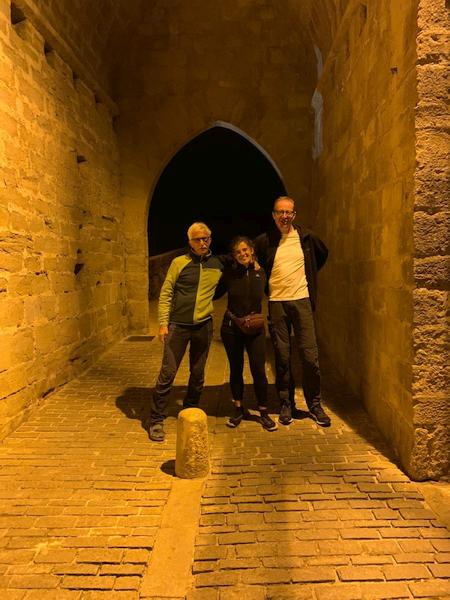
Puente Románico at the outskirts of Puenta la Reina. Crosses river Arga.
- Photographer: Fabrizio Ciappone
- Date Taken: 2019:10:10 21:00:26
- GPS Location: 42.67N, -1.82E

Puente Románico at the outskirts of Puenta la Reina. Crosses river Arga.
- Photographer: Fabrizio Ciappone
- Date Taken: 2019:10:10 21:00:26
- GPS Location: 42.670124N, -1.8202487E
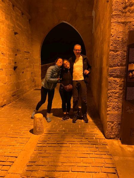
Puente Románico at the outskirts of Puenta la Reina. Crosses river Arga.
- Photographer: Fabrizio Ciappone
- Date Taken: 2019:10:10 21:00:26
- GPS Location: 42.670124N, -1.8202487E